Geographic Information Systems (GIS)
What is GIS? A geographic information system (GIS) is a framework for gathering, managing, and analyzing data. By analyzing spatial location and organizing layers of information, GIS creates visualizations using maps and 3D scenes. The maps made from multiple data sources are able to communicate, perform analysis, share information, and provide solutions for complex problems.
The City of Bangor's GIS team uses data to create interactive maps for facilities, historic preservation, impervious surface, parks and playgrounds, schools, streets, trails, zoning, and more.
Browse our collection of city maps below; some are interactive and others are printable PDFs. If you are looking for information or a particular map that you don't see here, contact our GIS department at gishelp@bangormaine.gov.
City Maps
|
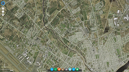
Parcel/Property Viewer
Bangor street map featuring operational layers for parcels, sublots, labels, parcel numbers, dimensions, and zoning.
INTERACTIVE
|
|

Facilities Map
Bangor street map showing location of major municipal buildings.
INTERACTIVE
|
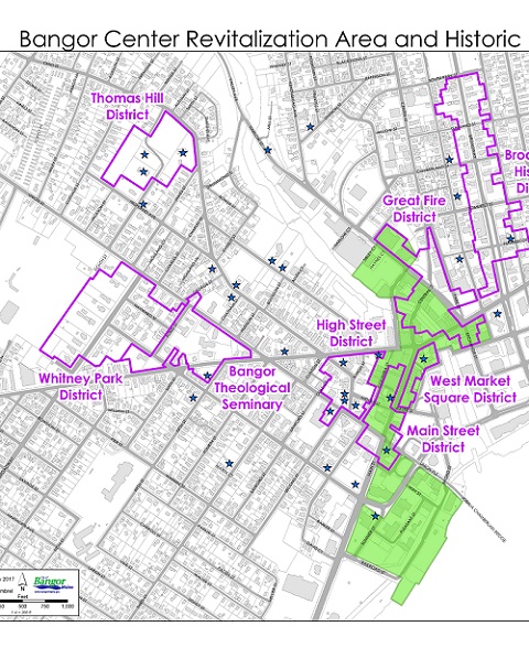
Historic Districts, Sites &Structures
Bangor street map showing location of historic landmarks, sites, and structures; historic districts; and Bangor Center Revitalization Area.
PDF
|
|

Impervious Surface/Stormwater
Bangor street map of all parcels including the amount of impervious surface for calculating stormwater billing for owners/residents.
INTERACTIVE
|

Parks/Playground
Bangor street map featuring all City parks and playgrounds.
INTERACTIVE
|
|

Paving Map
Bangor street map showing 2018-2019 city paving projects. Provided for informational purposes only. Paving projects are subject to change. YELLOW lines are streets being paved; RED lines are sidewalks being paved.
INTERACTIVE
|
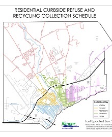
Residential Curbside Refuse & Recycling
Bangor street map that displays curbside refuse and recycling collection days.
PDF
|
|

Schools Map
Bangor street map featuring all schools in the Bangor School Department
INTERACTIVE
|
Street Map
Bangor street map in 36"x24" PDF format.
PDF
|
|
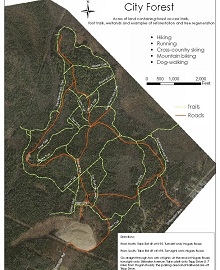
Trail Maps
Recreational trail maps for trails, parkways, wetlands, forests, and more.
WEBPAGE / PDF
|
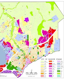
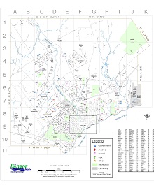
Zoning Map
Bangor street map with zoning area specifications. For planning purposes only.
PDF
|
|
Contact Information
Mailing Address
262 Harlow St., Bangor, ME 04401
Phone
207-992-4242
Email
gishelp@bangormaine.gov
|